A list of natural communities in Vermont, ranked by their rarity and importance.
Endangered, threatened, rare and uncommon species in Vermont.
Information on climate smart forestry and how to participate in the forest carbon marketplace.
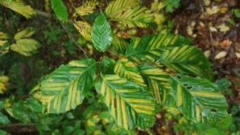
This leaf disease, potentially fatal to beech trees, was first detected in Vermont in 2023 and is spreading throughout the state.
Learn more about the Emerald Ash Borer (EAB) in Vermont.
A comprehensive resource to help identify and manage invasive species in Vermont
Spongy moths are back in Vermont. Learn about the spread of this defoliator, formerly known as gypsy moth, and strategies for controlling it.
Keep track of your field IDs with this powerful crowd sourcing app.
Extrememly useful app to ID wildflowers, shrubs and trees.
A rich website designed and maintained by botanists to key out and identify plants in New England.
An excellent beginners field guide to identifying trees in Vermont.
A rich website to learn about forest insects, and share your findings.
Birding by location, or just browse by birds.
An excellent tree ID app that filters by location.
A field guide to common mushrooms in the northeast, and how they fit into their ecosystem.
Neat and handy field guides to ID tracks, scat, wildflowers and other north woods life.
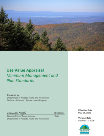
This major update to Current Use includes new management plan requirements and mapping standards.
County Foresters are a great resource to help Vermont forest land owners.
Vermont Audubon offers methods to integrate timber management with improving songbird habitat.
Extensive stewardship resources for privately owned woodland.
Learn about landowner responsibilities for maintaining water quality during timber harvests.
Rules for cutting trees within 250 feet of lakes larger than 10 acres.
Forestry related webinars, resources and events in Vermont.
Landowner guides address wildlife, water, economics, and working with Vermont foresters and loggers.
This Vermont harvesting guide has a wealth of useful info.
Easy to use tools guide you to map your land, set goals, keep a journal and stay connected.
Tree measures, site indexes, and log volumes.
Parcels, aerial photos, wetlands, and an abundance of Vermont specific data.
Download USGS topomaps and other premade mas to your phone, or upload custom maps. Both free and professional versions available.
QGIS is a free, powerful open source mapping software. QGIS is a viable alternative to ARC products for professionals and hobbiests alike.
CalTopo is one of the most handy web-based mapping services, and it's free. CalTopo offers many useful data layers and customization options.
Wondering if that's a Class 3 or Class 4 road? View Official Town Highway Maps.
Maps and info on all trails for the Vermont Association of Snow Travelers.
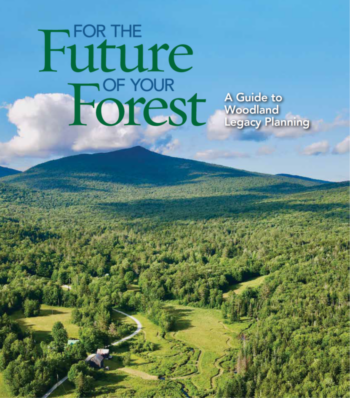
An invaluable guide to estate planning for Vermont landowners.
What are your trees worth? See what has been paid for stumpage in Vermont.
Setting up a cost basis for your timberland can save on taxes down the road.